NARCliM
Bringing climate modeling tech to life
Sustainability
Grid system
Climate models separate Earth’s surface into a 3-dimensional grid of cells. Regional climate projections delivered through the NARCliM project downscale global climate models to achieve a finer scale representation of south-eastern Australia known as the NARCliM domain, from 100–300km down to 4km.
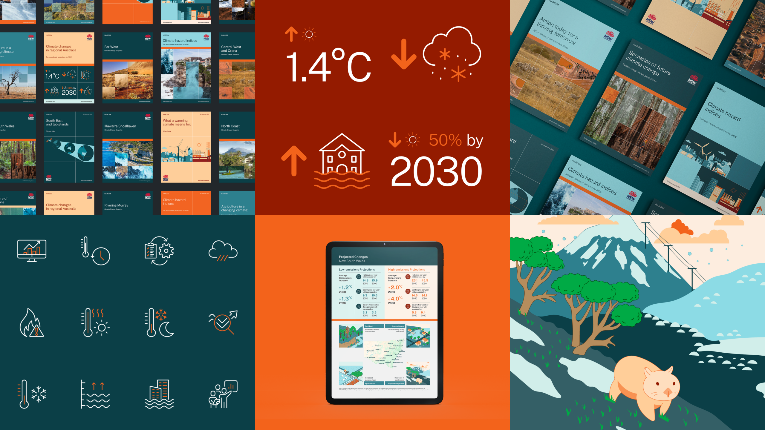
A graphic system based on this gridded representation of Earth’s surface allows us to tell macro and micro stories about climate change, reflecting the dynamic shifts in our environment projected through NARCliM data. This is achieved through the application of multiple images in a single composition.
Snapshot covers
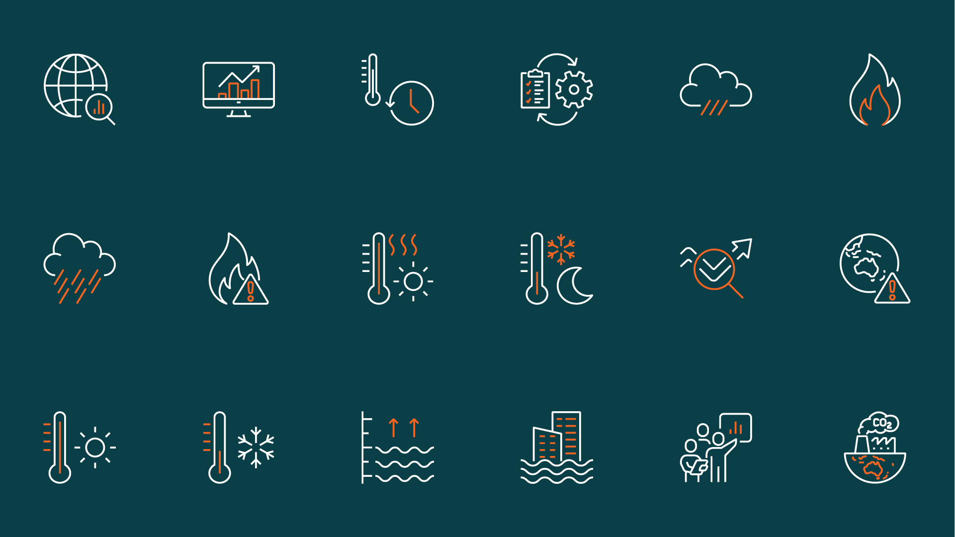
The concept has been rolled out through literature design, climate infographics, iconography, climate impact illustrations, social assets and other touchpoints.


Illustrations


Photography
Looking for a full-service design agency that delivers?
Get in touch